A Must-See for Driving Enthusiasts! Introducing Scenic Driving Routes
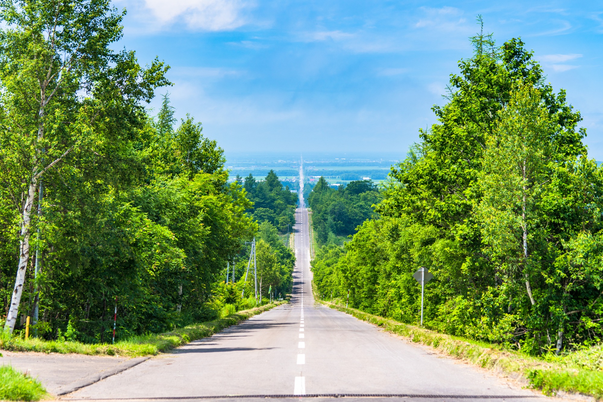
Endless roads stretching through vast landscapes... Here are some scenic driving routes in Hokkaido that you can only experience there!
The views from the car windows are beautiful, and the refreshing drive will lift your spirits. Why not visit spots that will make you?
- * Please note that the text shown on this page includes machine translations.
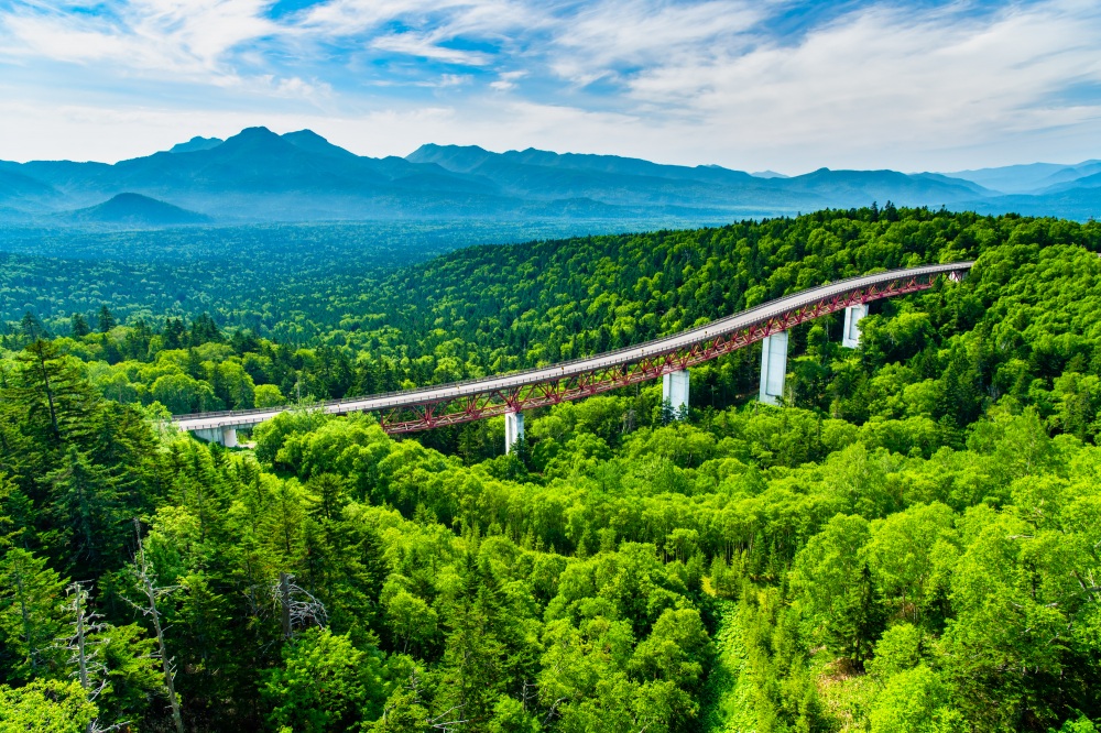
A Single Road Through a Majestic Primeval Forest - Mikuni Pass (Kamishihoro Town)
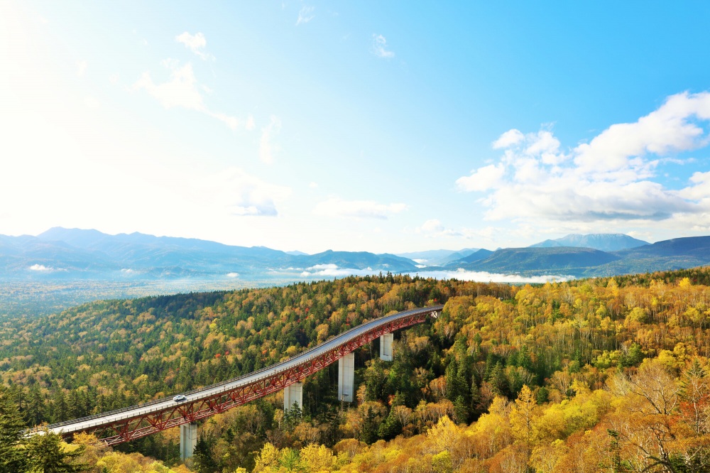
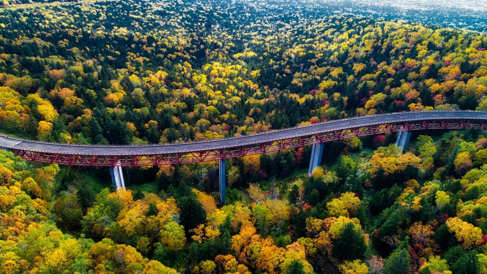
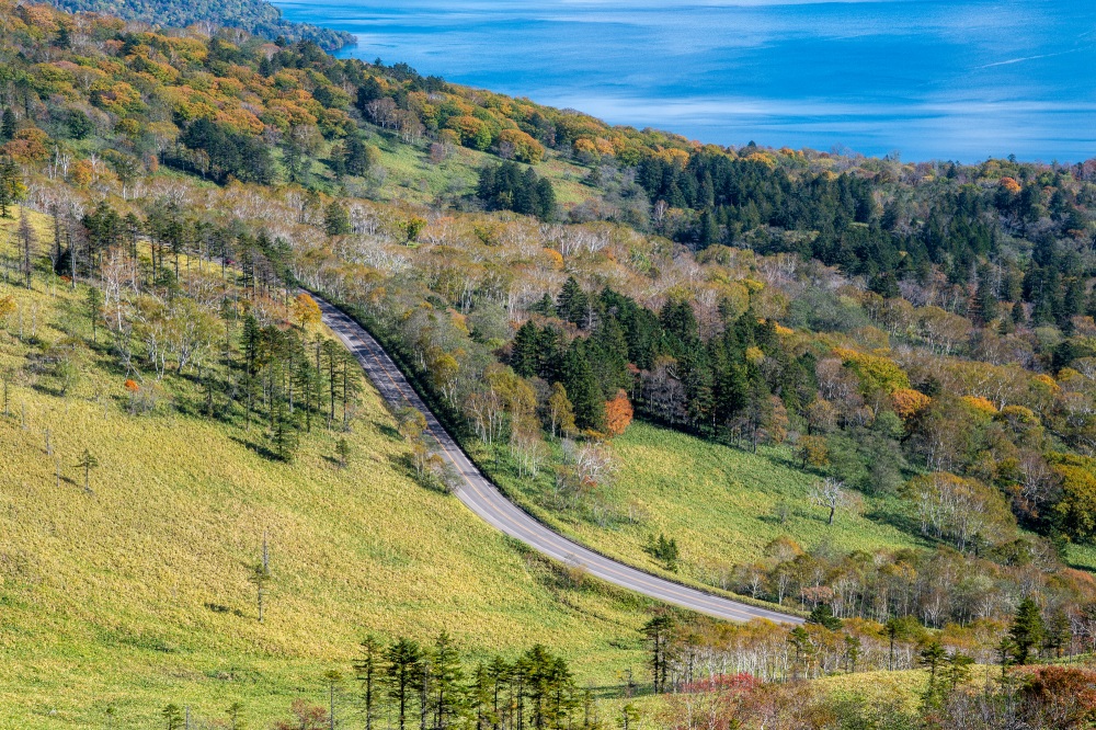
Located on National Route 273, which runs north and south through Daisetsuzan National Park, Mikuni Pass sits at an elevation of 1,139 meters. It boasts the highest elevation for a national road pass in Hokkaido and is a spectacular viewing spot where you can see dynamic landscapes of tree-covered forests and the Matsumi Bridge in any season. Beneath you spreads a forest of deep green, and from the observation deck, you can gaze upon mountains that seem to stretch endlessly. Along the route to the pass, several large bridges weave through the trees, and among them, the "Matsumi Bridge" creates a grand panorama with the forest that is as beautiful as a painting, offering a dynamic view that makes you feel like you're witnessing Hokkaido's magnificent nature firsthand.
Autumn is especially recommended, with mountains painted in vivid colors creating truly breathtaking scenery. There's also a relatively high probability of sea of clouds appearing in the early morning, offering an amazing collaboration of clouds and autumn foliage. For driving enthusiasts, this is definitely a scenic route you'll want to experience at least once!
Driving with the Wind - Orolon Line (From Otaru City to Wakkanai City)
While the exact route definition varies, the "Orolon Line" traces about 380 km of coastline from Otaru to Wakkanai, Japan's northernmost city.
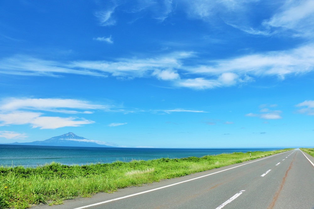
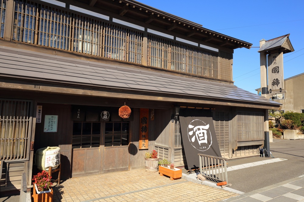
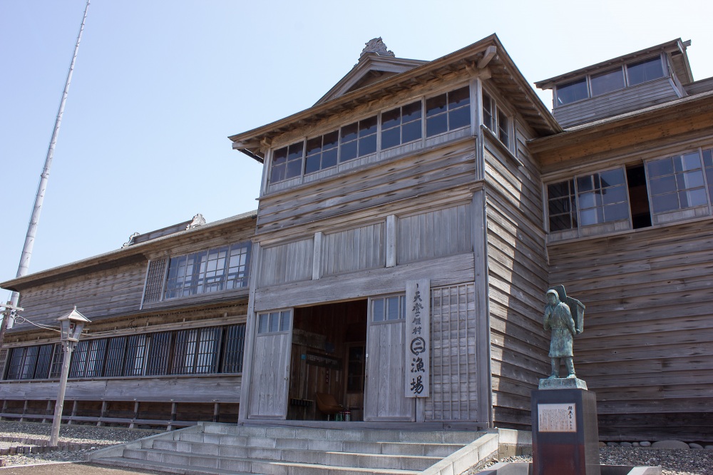
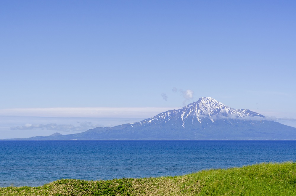
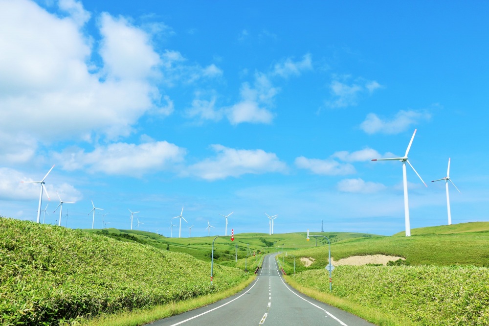
This drive route offers various tourist attractions, including Japan's northernmost sake brewery "Kunimare Sake Brewery" in Mashike Town, and the largest herring fishery house "Old Hanada Family Fishery" in Obira Town, which preserves the historical prosperity of herring fishing. The highlight begins just before entering Wakkanai, along Route 106 near the "Roadside Station Teshio" area. On a clear day, you can see the magnificent Mt. Rishiri (often called Rishiri Fuji) on your left for about 30 kilometers. On the right, the Otonrui Wind Power Plant's wind turbines stand in neat rows.
Driving alongside wind turbines catching the coastal breeze gives a sensation of becoming one with the wind. Such an orderly, long, and straight wind power installation is rare in Japan - the sight is so impressive that you might momentarily wonder if you're still in the country. It's truly a landscape that seems un-Japanese.
For lunch, recommended is the sweet shrimp bowl in Haboro Town, Japan's top sweet shrimp landing port.
For an evening drive, stopping at "Ogon Cape" in Rumoi City is recommended. The sunset over the Sea of Japan, called "Japan's most beautiful sunset", paints the surroundings in orange, creating a magnificent view. The trip's highlight is Mt. Rishiri emerging beyond the horizon. Under a perfectly clear blue sky, the seascape featuring Rishiri and Rebun islands in the distance is a view perfectly befitting the conclusion of an epic drive.
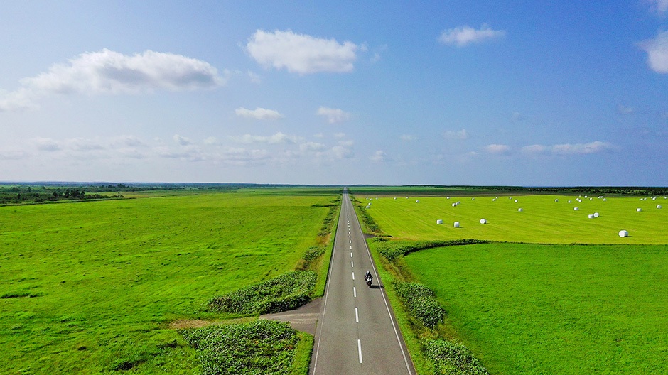
There is nothing to block the view! - Esanuka Line (Sarufutsu Village)
The road is about 16 kilometers long. It has two cranks along the way, but apart from those, it is truly a “straight road that goes on forever! It is a road with a spectacular view that allows you to enjoy the horizon to the fullest. There are no guardrails, utility poles, or buildings around the road. There is only a single road and the surrounding pastures. It is rare to find such a straight road in Hokkaido, and it is no wonder why it is called a sacred place for riders. Sarufutsu Village, where the Esanuka Line is located, is famous for having the largest scallop catch in Japan. Please enjoy the road in combination with driving or touring.
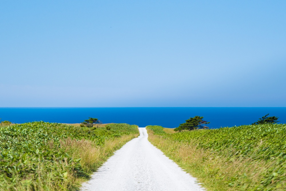
Leading to the sea - White Path (Wakkanai City)
The “white path” leading to the bright blue sky and the sea. This scenery is found in the “Soya Hills” near Cape Soya in Wakkanai. One of Japan's largest wind farms that take advantage of strong winds spreads out, and visitors can enjoy the beautiful contrast between the bright green of the hills, the blue sky, and the huge white windmills. The path is white because it is covered with crushed scallop shells. They harmonize with the surrounding landscape and the green of the grass and flowers, creating a beautiful, almost picturesque scene. This path is part of the Wakkanai Footpath, a walking path for those who enjoy walking in the countryside and nature, such as pastures and fields, so it is recommended to get out of the car and enjoy a stroll. On a clear day, the contrast between the blue sky, the sea, and the white path is very beautiful, and you can even see Rishiri Fuji in addition to the large windmills along the way.
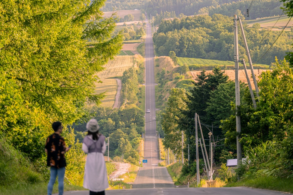
Magnificent Mt. Daisetsu and peaceful countryside - Roller Coaster Road (Kamifurano Town)
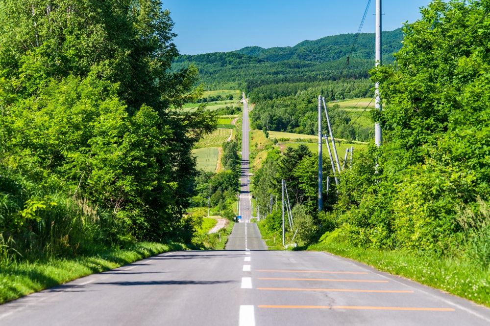
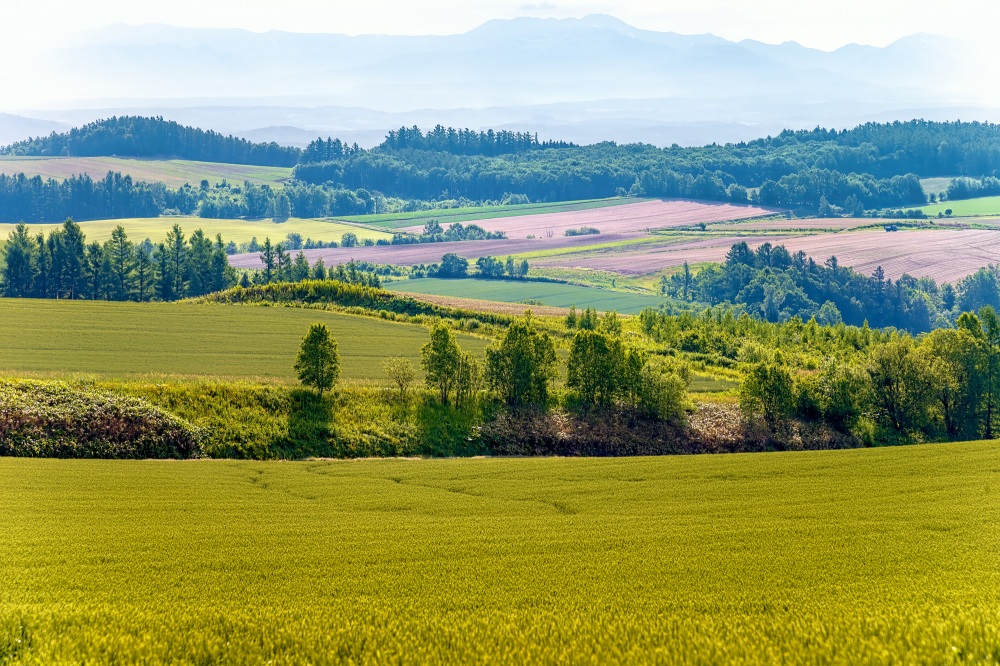
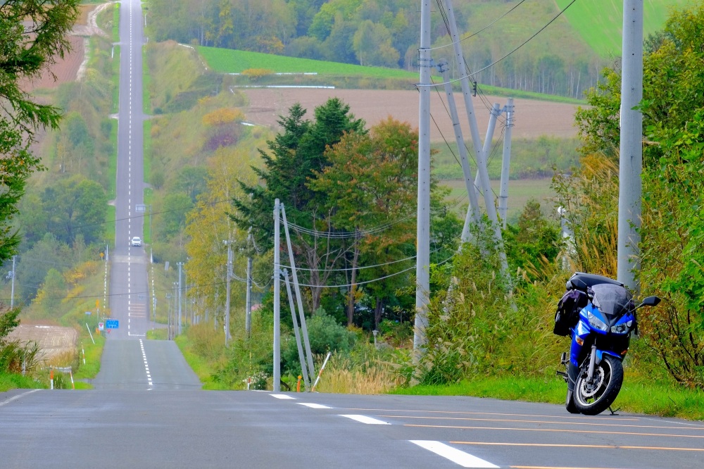
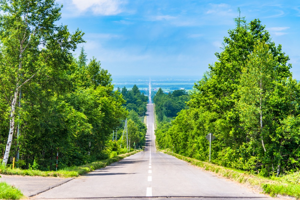
Kamifurano town is renowned for its captivating landscapes, adorned with vibrant flower fields, especially lavender. The "Roller Coaster Road" is a must-visit for any traveler seeking a unique driving experience. This about 4.5km straight road features dramatic ups and downs, offering breathtaking views of rolling hills, farmlands, and the distant Tokachi Mountain Range. It's truly a quintessential Hokkaido experience.
Designated as one of the "Eight Views of Kamifurano," the road's entrance is marked by a sign for the "West 11 Line Agricultural Road," located near the Miyama Pass on National Route 237, between Furano and Asahikawa. As the seasons change, so does the scenery, with different crops and foliage offering a constantly evolving vista. This drive promises a fresh perspective with every visit.
A spectacular view to see at least once - Road to the Sky (Syari Town)
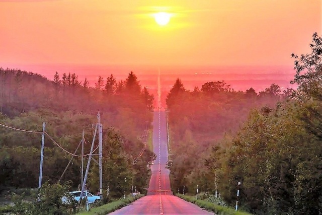
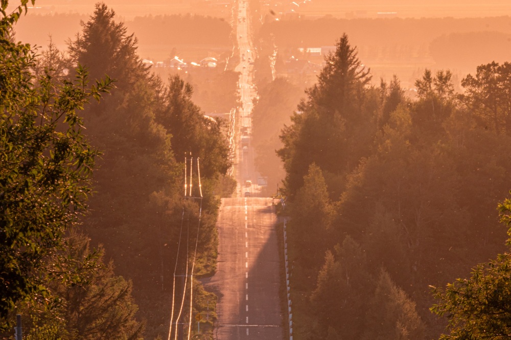
The "Road to the Sky" in Shiretoko, a World Natural Heritage site, is a breathtaking scenic route. This about 28 km straight road stretches east to west from Minehama in Shari Town on National Route 334 to the Daiei area, starting from National Route 244, the gateway to the Shiretoko Peninsula. When viewed from the easternmost point, this road appears to extend endlessly and eventually disappears into the sky. One cannot help but feel the illusion that following this road might lead you to sky.
From late September to early October, you might encounter an even more romantic scene. The road stretches straight towards the setting sun in the middle of the road, creating an incredibly impressive sight that makes it seem as if you could reach the sunset. This spectacular view, which can only be seen for a few days a year, will surely become an unforgettable memory if you are lucky enough to witness it.
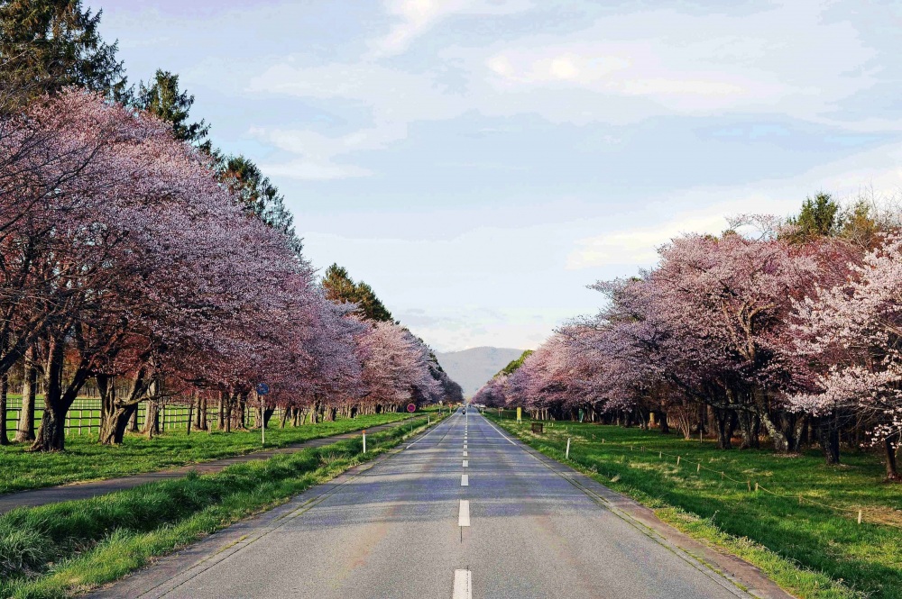
One of the best cherry blossom spots in Hokkaido - Nijukken Road Cherry Blossom Trees (Shinhidaka Town)
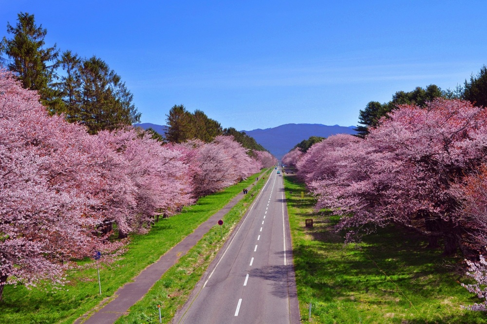
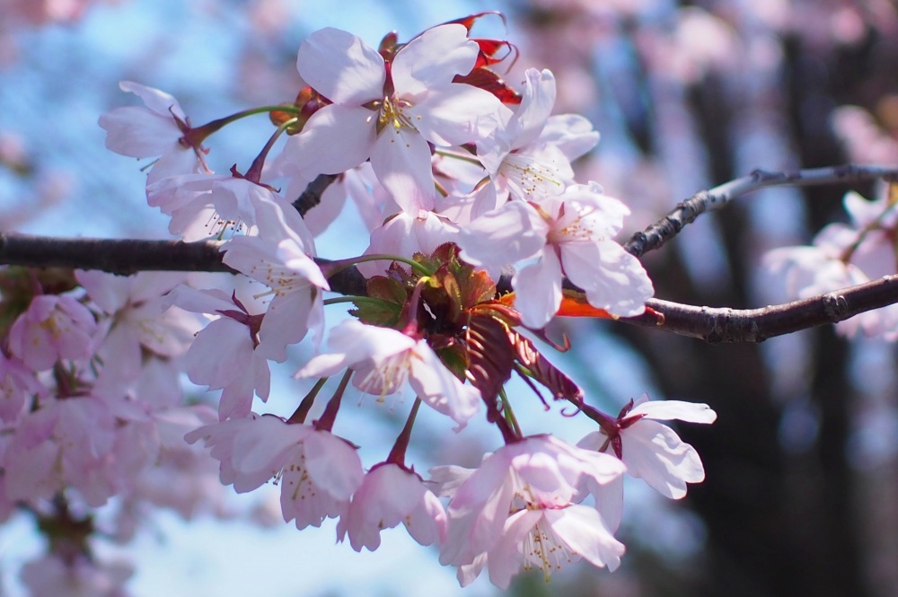
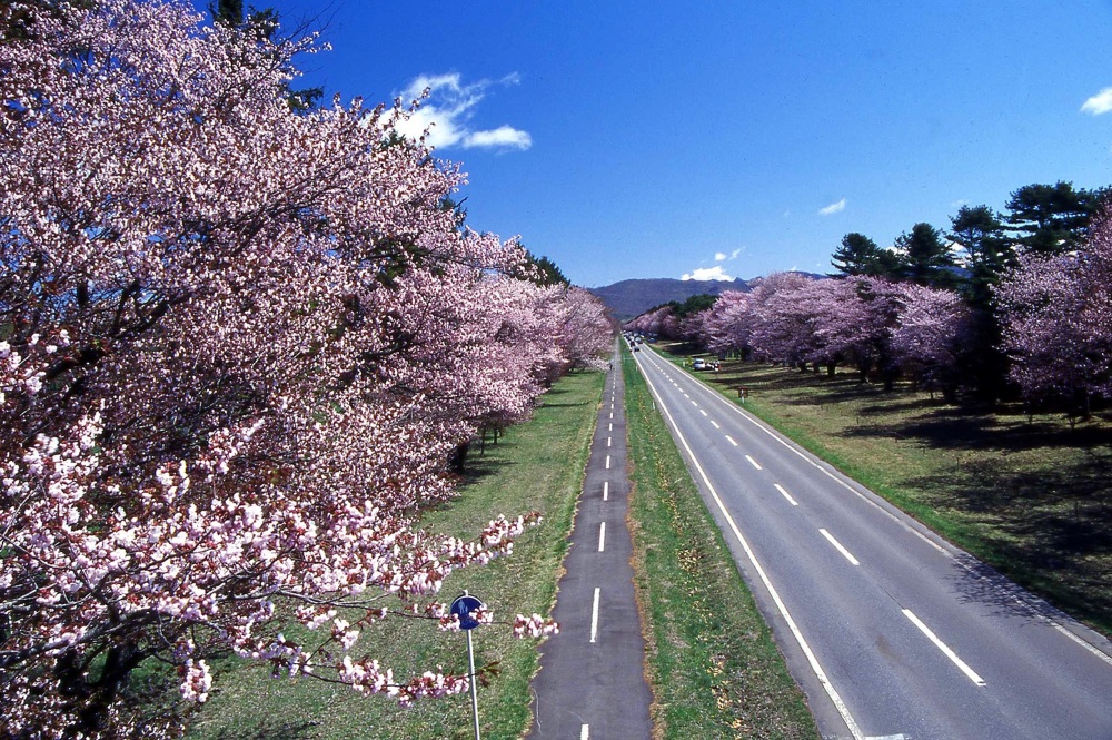
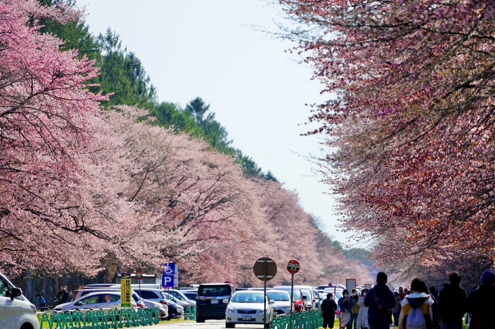
This straight road, where about 2,200 cherry trees bloom over 7 km, is said to be the most spectacular cherry blossom road in Hokkaido.
Named "Nijukken Road" because its width was twenty ken (about 36 meters), the sight of cherry trees such as Ezoyamazakura lining the road is truly breathtaking. During the cherry blossom season, many tourists from all over the country visit to catch a glimpse of this magnificent tree-lined avenue.
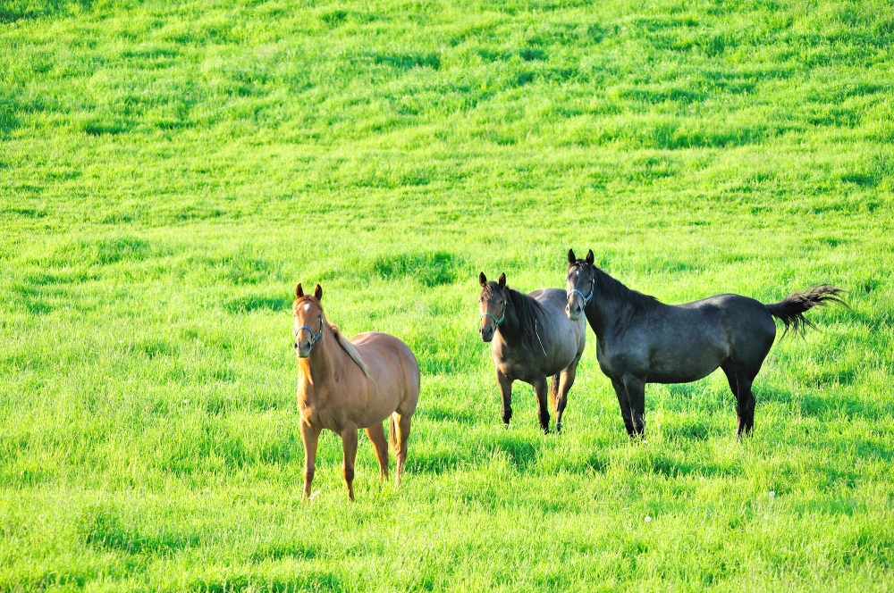
National Route 235, which runs along the Pacific Ocean towards Shizunai, offers a quintessential Hokkaido landscape with the Pacific Ocean on the right and scattered farms along the road. The Hidaka area, including Shinhidaka Town, is Japan's top racehorse breeding region, dotted with thoroughbred farms. In the vast natural fields, you can see horses grazing in the breeze, and in spring, you might even see mares with their foals.
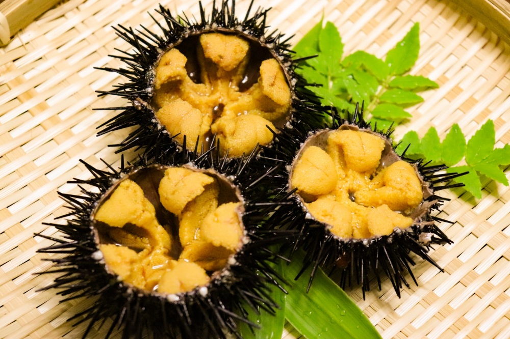
This route is perfect for a leisurely drive, especially when combined with the gourmet delight of "spring sea urchin (Ezobafununi)" during its peak fishing season from March to May.
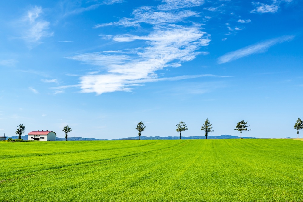
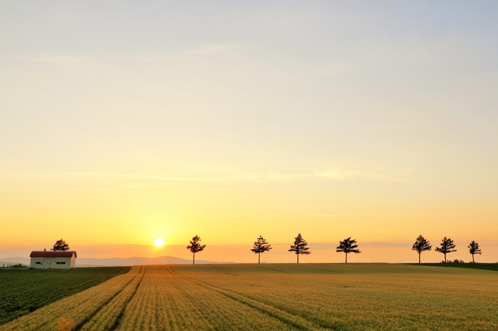
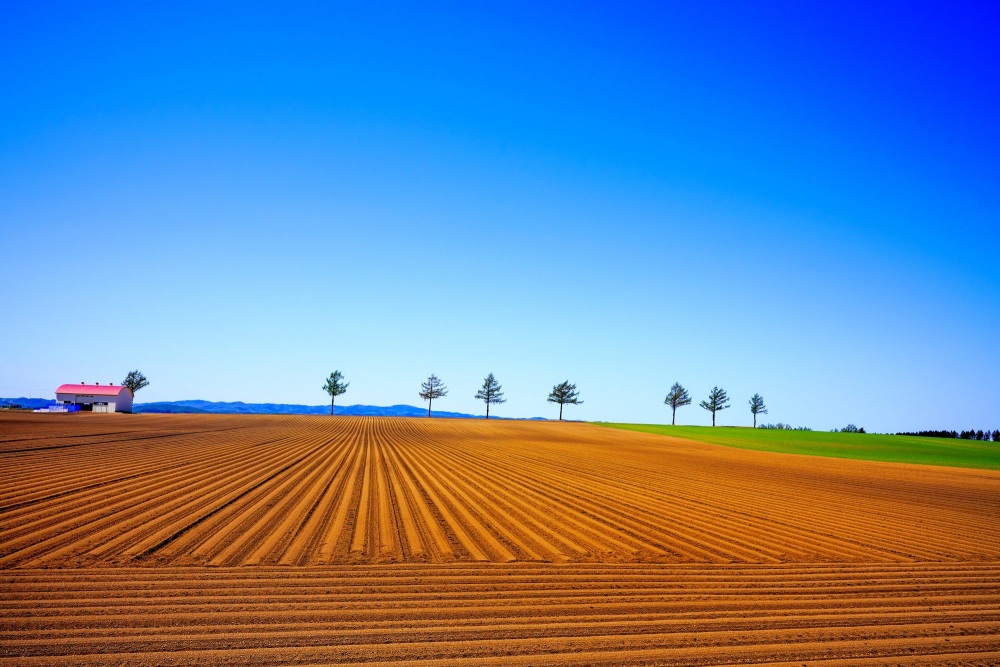
Full of Hokkaido's character - Märchen Hill (Ozora Town)
This picturesque scene of seven larch trees lined up, now known nationwide, is located just a 10-minute drive from Memanbetsu Airport and is called "Märchen Hill" The surrounding area is a rural landscape, offering a quintessential Hokkaido view. In front of you stretches a straight road for about 3 km. While the scenery with a blue sky backdrop is popular, the silhouettes of the trees against the sunset at dusk are also romantic.
Nearby is the roadside station "Märchen Hill Memanbetsu," where gourmet souvenirs, such as products made with natural clams from Lake Abashiri, are very popular. Why not stop by for a drive?
Driving route overlooking Lake Kussharo - Bihoro Pass (Bihoro Town)
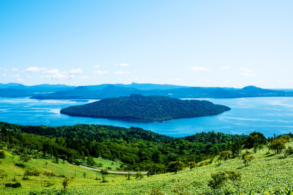
Located about a 30-minute drive from Märchen Hill, Bihoro Pass is one of the most scenic spots in the eastern Hokkaido area, offering a panoramic view of Lake Kussharo, Japan's largest caldera lake, from an observation deck at an elevation of 525 m.
Below, you can see the expansive Lake Kussharo, and as the view is often described as "a breathtaking panorama," you can indeed witness the stunning and grand beauty of the lake. Situated on National Route 243, which runs through Bihoro Town and Teshikaga Town, the road to the pass is full of curves, providing a scenic drive with ever-changing mountain views.
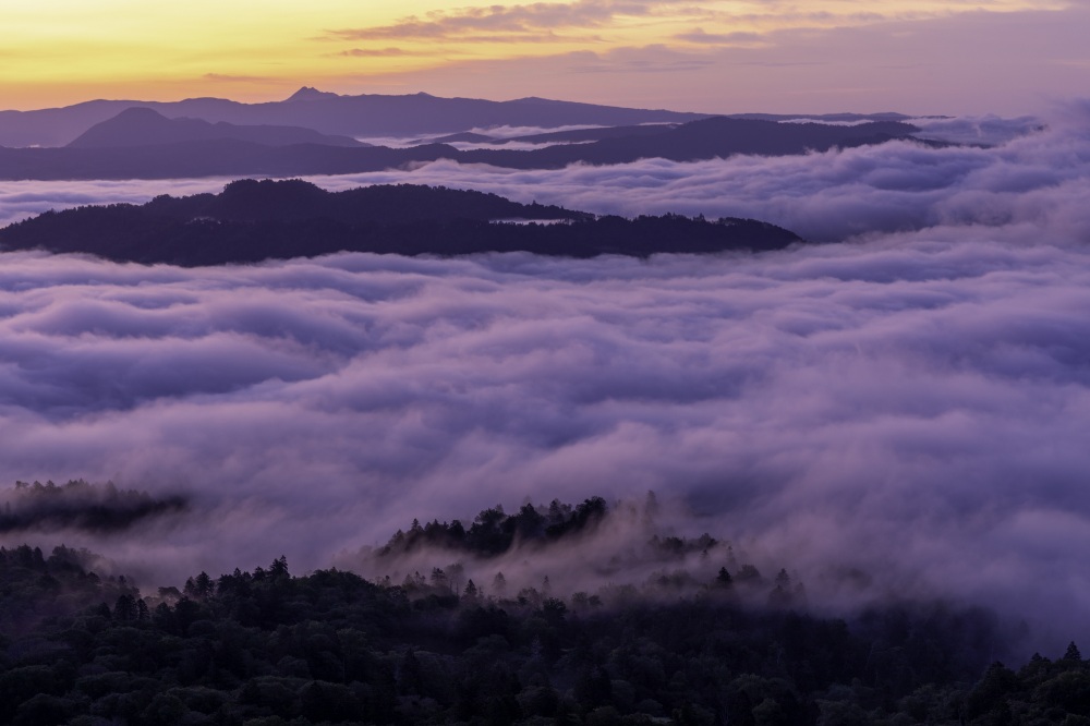
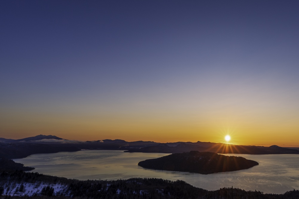
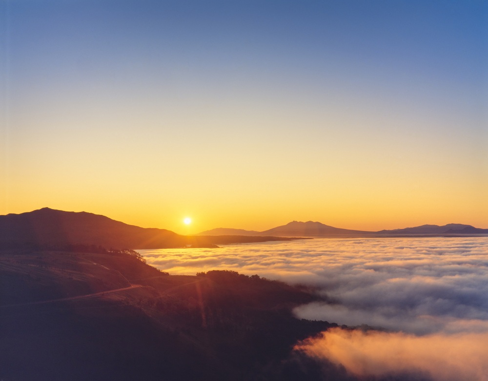
One of the highlights of Bihoro Pass is the "sea of clouds." Under the right weather conditions, you can see this natural phenomenon! It can be observed in the early mornings of spring and autumn when the humidity is high and the temperature is low. From the pass, you can look down and see the entire area enveloped in clouds, creating a magical moment as if you were in another world. The spectacular sunrise is also highly recommended. At the top of the pass, there is a large parking lot and a roadside station, making it a great spot to take a break, shop for souvenirs, or grab a light snack.
- Mikuni Pass Observatory
- Esanuka Line
- Shiroi Michi
- Roller Coaster Road
- The Road to the Sky
- Nijukken Road Cherry Blossom Trees・Shizunai Cherry Blossom Festival
- Märchen Hill
- Bihoro Pass
*Google Maps is published here using a free quota with limited display counts. Please note that there may be periods when it cannot be viewed due to the circumstances. Your kind understanding is appreciated.
In addition to the driving routes introduced above, there are many other scenic routes in Hokkaido. You may unexpectedly find your own favorite scenic route while driving.
Why don't you search for your favorite scenic road while driving?
Ranking of popular articles
- Hokkaido Summer Travel Guide
- https://www.visit-hokkaido.jp/en/feature/travelguide_summer
- Hokkaido Spring Travel Guide
- https://www.visit-hokkaido.jp/en/feature/travelguide_spring
- Enjoy the Stunning Autumn Scenery at Popular Spots in Hokkaido
- https://www.visit-hokkaido.jp/en/feature/kouyou
- A Must-See for Driving Enthusiasts! Introducing Scenic Driving Routes
- https://www.visit-hokkaido.jp/en/feature/ipponmichi
- When is the best time to see lavender? Recommended Lavender Spots in Hokkaido
- https://www.visit-hokkaido.jp/en/feature/lavender
