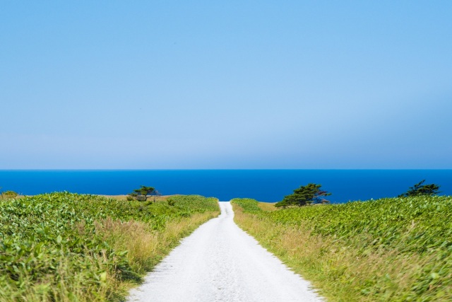
Ororon Line
Located at the northern end of the Sea of Japan Ororon Line, it is a coastline extending north to south for over 20 kilometers along Prefectural Route 106 from Wakkanai City to Sarobetsu Wilderness. This area is also part of the Rishiri Rebun-Sarobetsu National Park, and is a scenic spot where you can see Rishiri Island closest to the Wakkanai area.
Since this route is within a national park, there are no telephone poles or wires, and the road is flat with few curves, making it a driving course with a sense of openness. Be careful as you will tend to press the accelerator.
If you want to capture Rishiri Island and Rebun Island in your viewfinder, we recommend choosing a time in the morning to avoid backlighting.
- * Please note that the text shown on this page includes machine translations.
- Nearest airports
General Information
- Postal code
- 〒097-0000
- Address
- 北海道稚内市大字抜海村字メメナイ
- Telephone Number
- 0162-24-1216(Wakkanai Tourism Association)
- Website
* Information on facilities is subject to change. Please check each official website for the latest information.


