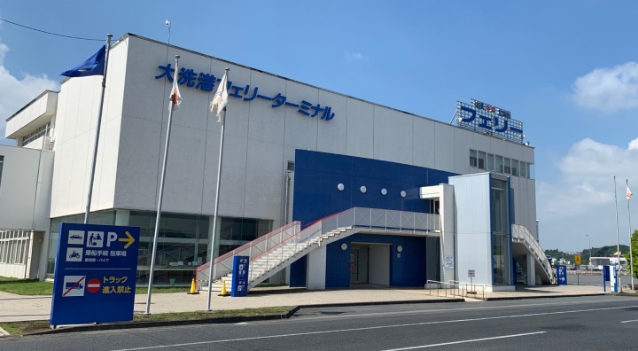
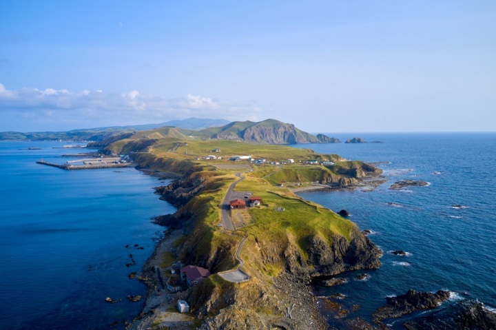
Explore the entire northern area of Hokkaido with an active course covering Rishiri, Rebun and Wakkanai!
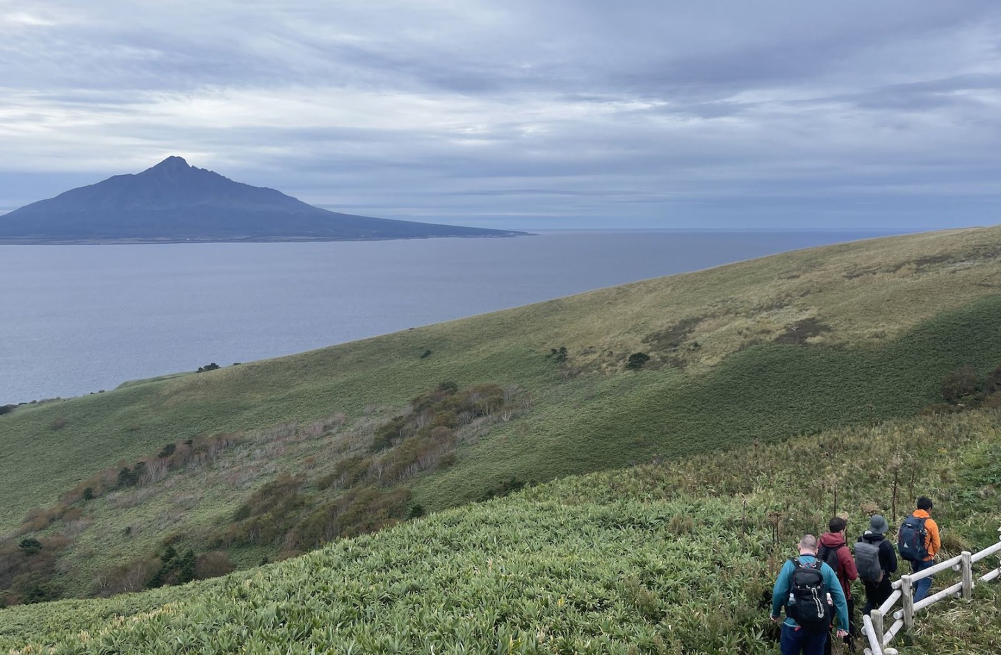
- Spring
- Summer
- Autumn
- Winter
- Days required
- 4 days and 3 nights
- Main methods of transportation
- Airplane, bus, car
Enjoy the northernmost remote islands of Rishiri and Rebun on electric bicycles and by trekking. In Wakkanai, cycle through the sprawling landscape of the Soya Hills and pass through the famous White Path. This is a 4 days and 3 nights sample course that allows you to experience the charms of northern Hokkaido.
- * The spots and experience menus introduced in the course are subject to change. Please check the official website for the latest information.
- * Please note that the text shown on this page includes machine translations.
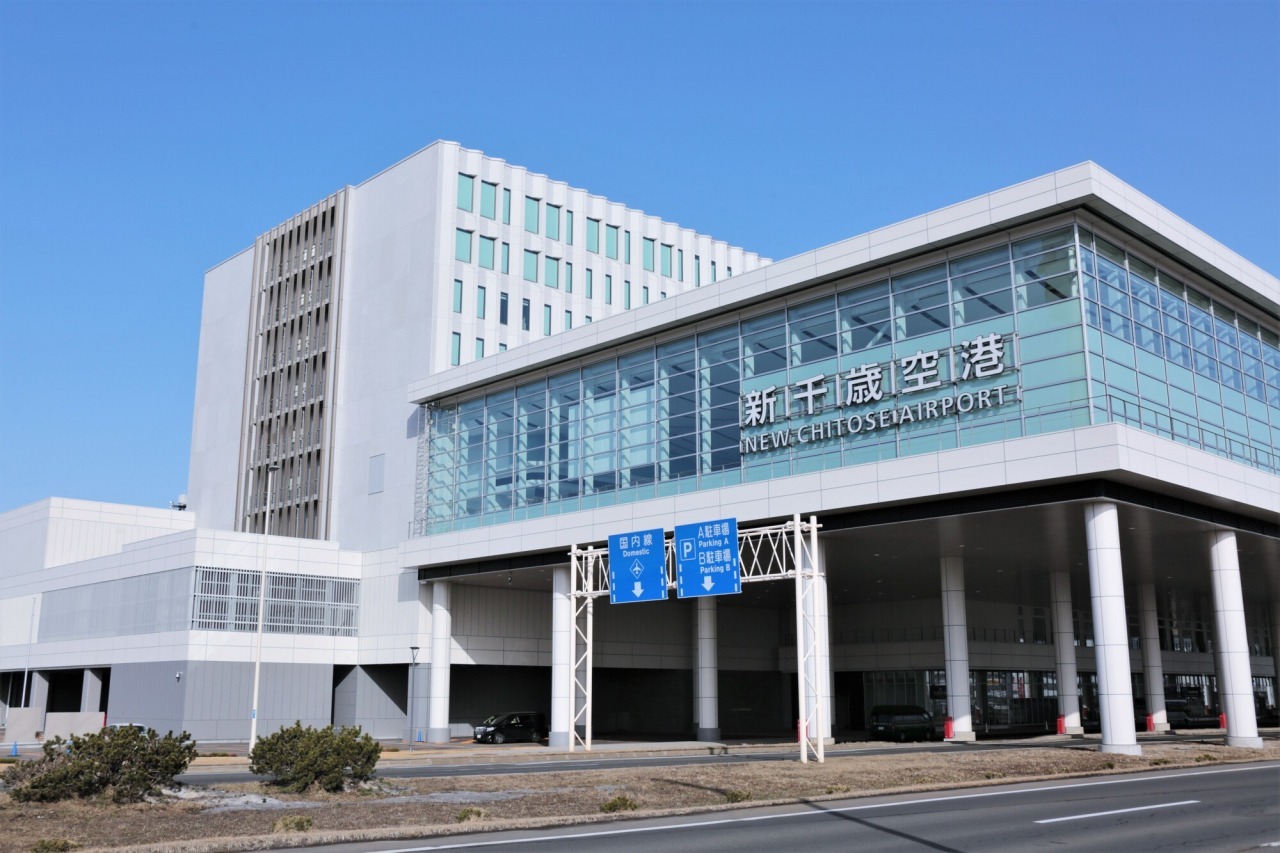
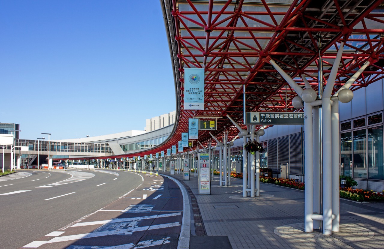
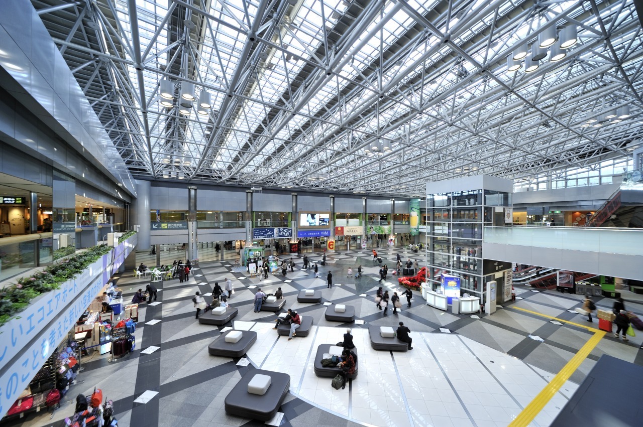
New Chitose Airport
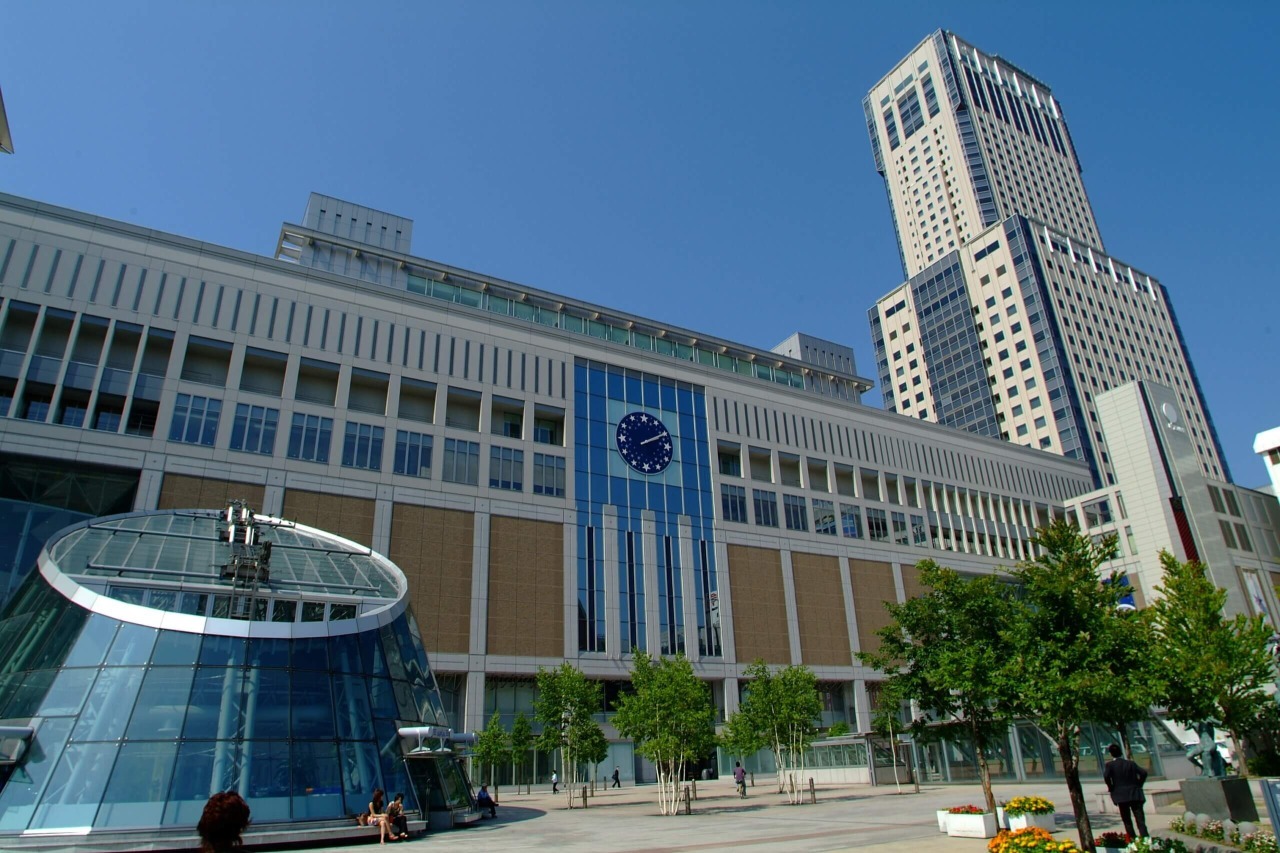
Sapporo Station
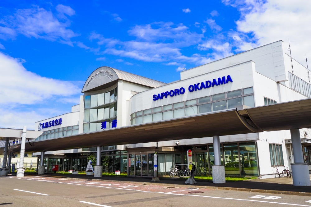
Sapporo Okadama Airport
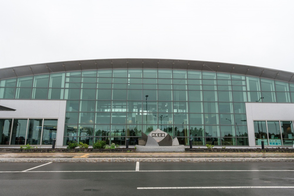
Rishiri Airport
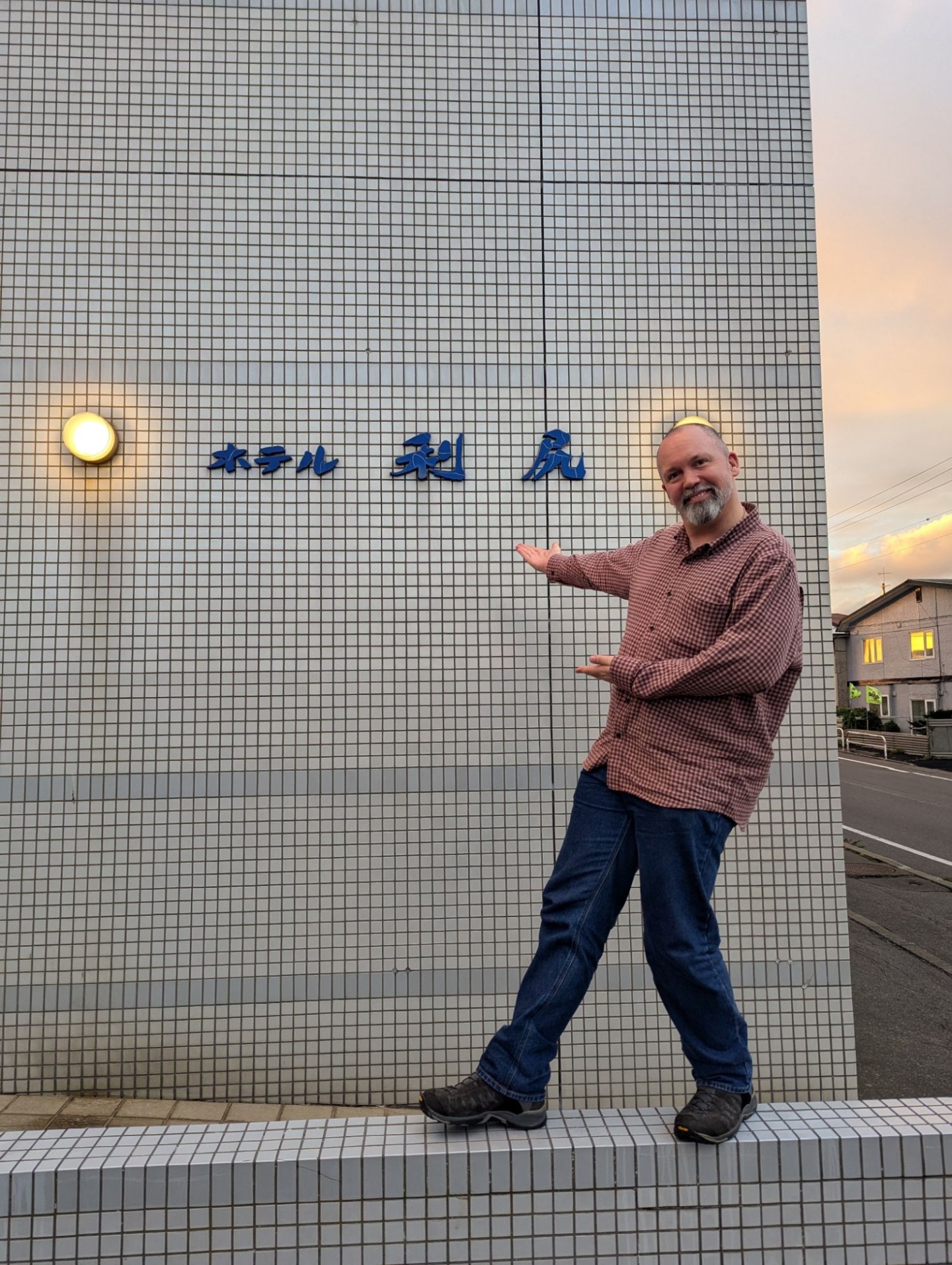
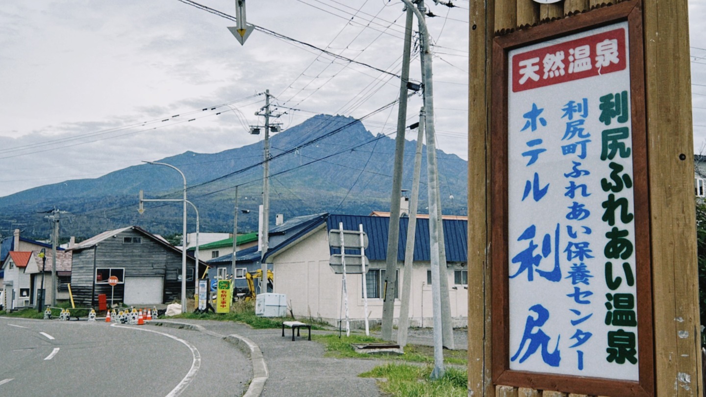
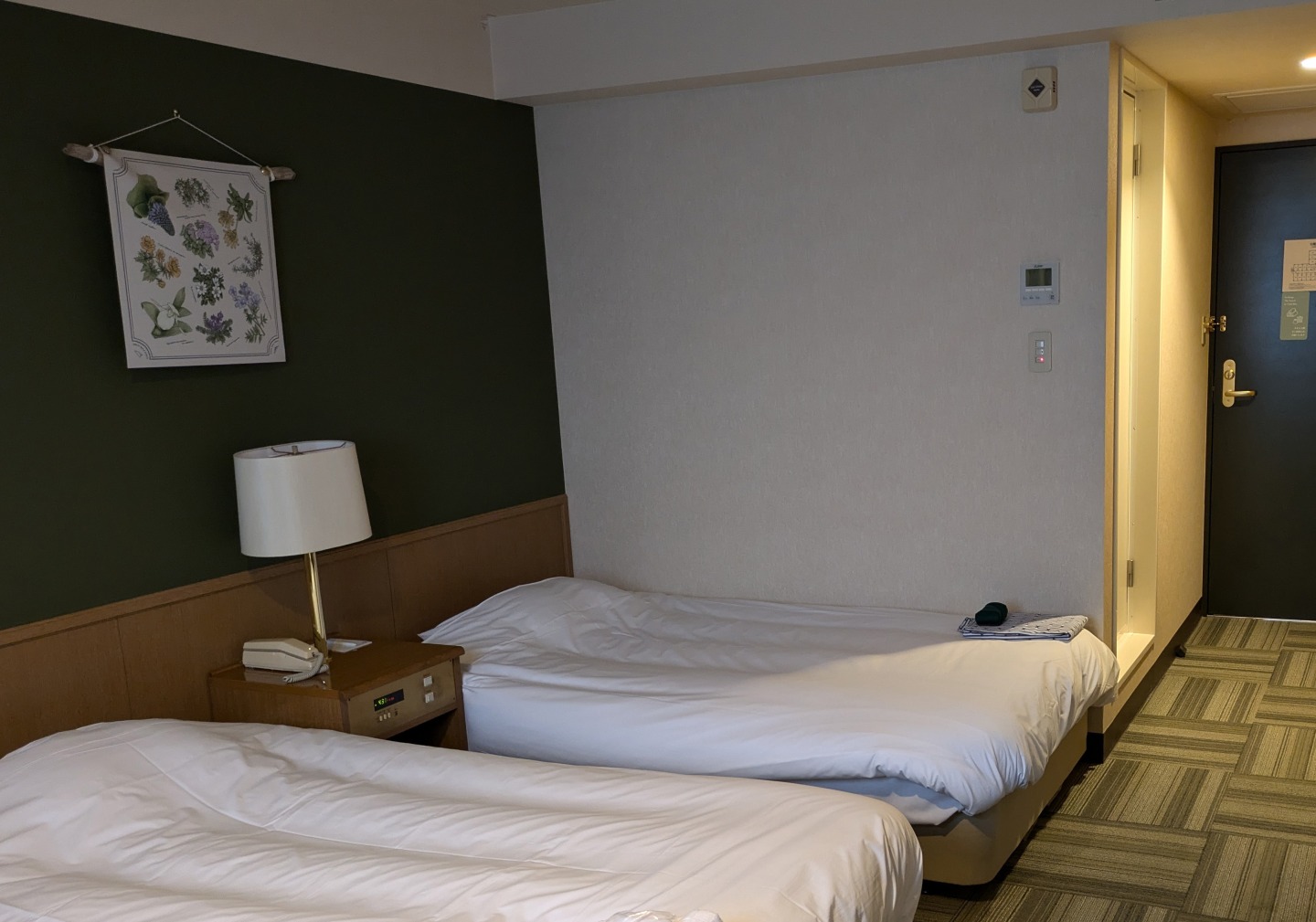
【Accommodations】Hotel RISHIRI
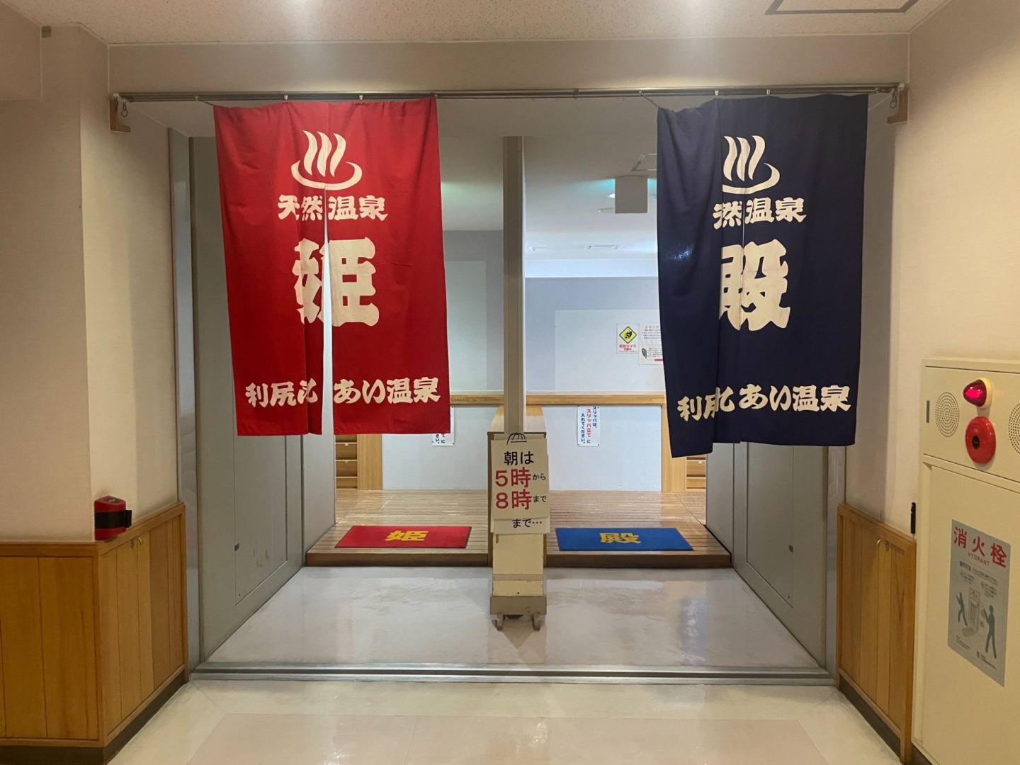
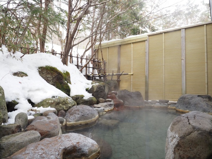
This is a municipally-operated hotel in the Kutsugata district. It is the only accommodations in Rishiri and Rebun with a hot spring that uses the natural hot spring water directly from the source.
- Address
- 90 Fujimi-cho, Kutsugata, Rishiri-cho
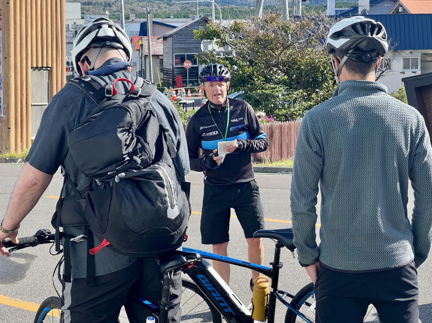
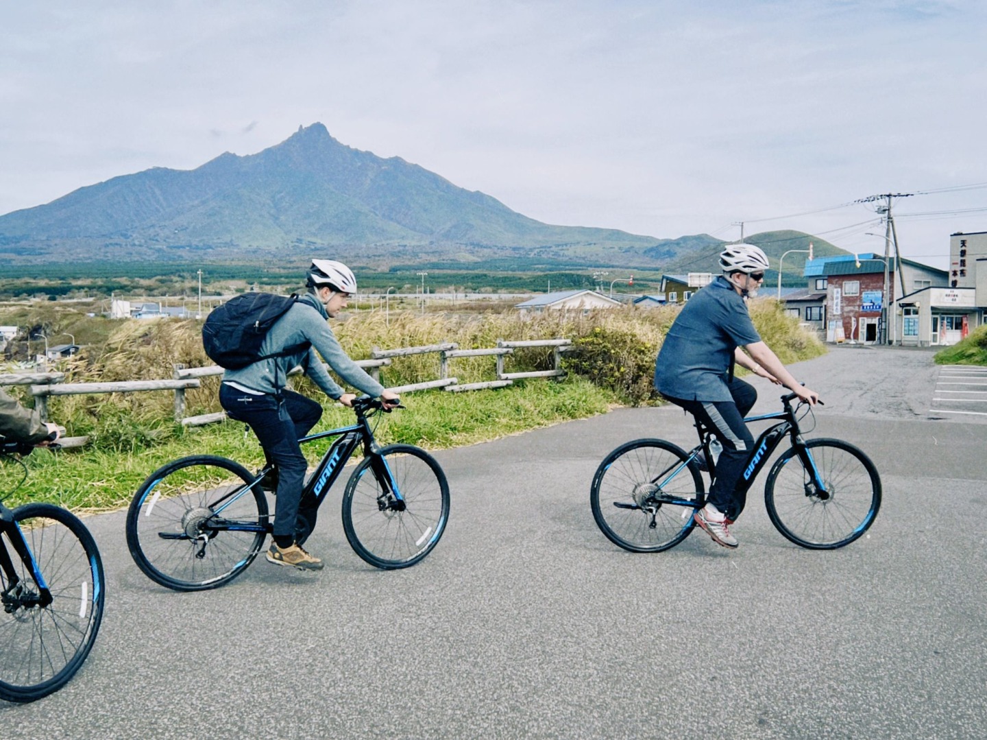
Rishiri Island Cycling Session (approx. 6 hours)
Take a lap around the entire island of Rishiri, one of the best cycling spots in Japan!
Some of the spots you will visit on the tour
- Reiho Spring Water
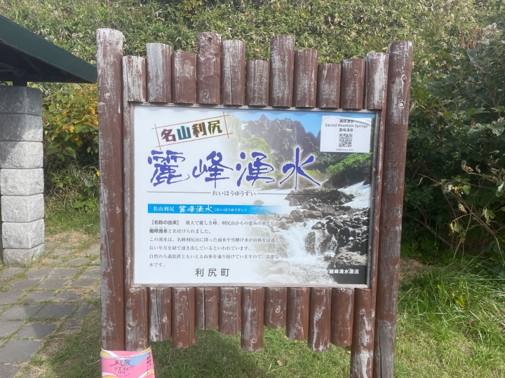
- This water is the result of rain and snowmelt from Mt. Rishiri seeping into the ground and then bubbling up after many years. Feel free to take some of the underground water home with you.
- https://www.rishiri-plus.jp/shima-place/reiho-yusui/
- Senhoshi Misaki Park
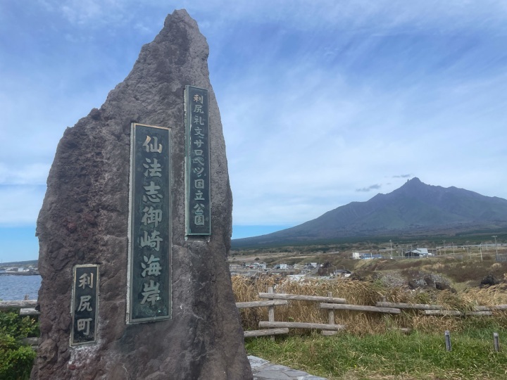
- This park is located at the southernmost tip of the island, offering views such as those of the rugged coastline of lava, the beautiful ridgeline of Mt. Rishiri, and the clear waters of the sea.
- https://www.visit-hokkaido.jp/en/spot/detail_10391.html
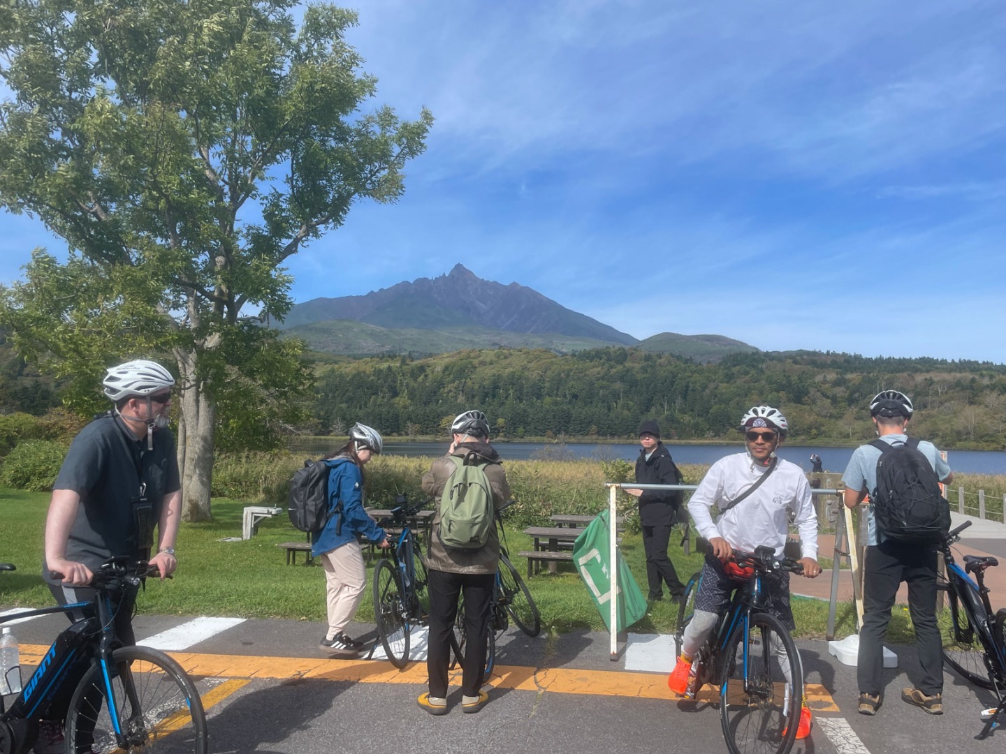
- Otatomari Marsh
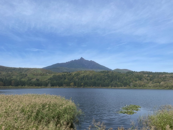
- Located in the southeast, this is the largest body of water on Rishiri Island. There is a walking path around Otatomari Marsh, so you can enjoy a stroll while admiring the reflection of Mt. Rishiri on the waters.
- https://www.visit-hokkaido.jp/en/spot/detail_10396.html
- Himenuma
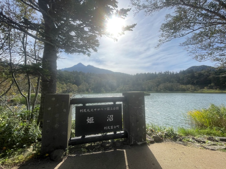
- This is a mysterious man-made swamp surrounded by a primeval forest, with a circumference of about 800m. It is known for the beautiful upside-down reflection of Mt. Rishiri Fuji on it's surface.
- https://www.visit-hokkaido.jp/en/spot/detail_10394.html
- Rishiri Island Cycling Road
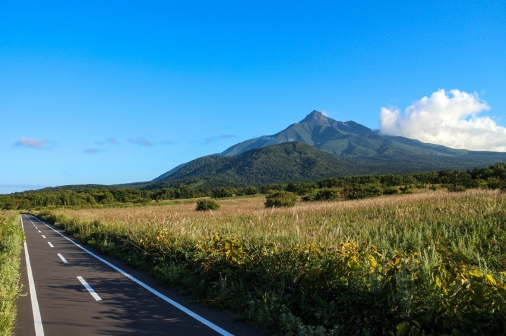
- A bicycle that allows you to move at your own pace and maneuver easily is perfect for exploring Rishiri Island. There are pleasant cycling roads on the island.
- https://www.visit-hokkaido.jp/en/spot/detail_11383.html
【Accommodations】Hotel RISHIRI
Oshidomari Ferry Terminal
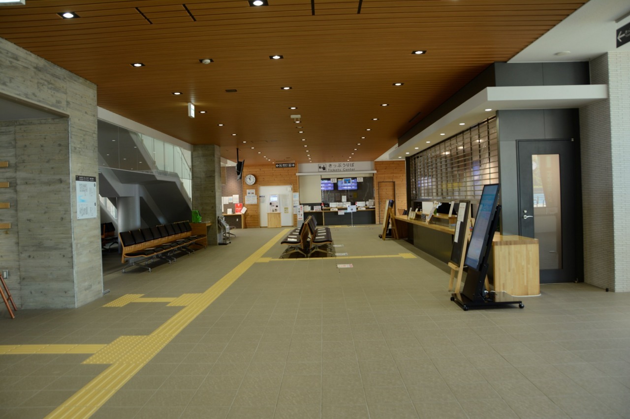
Wakkanai and Rebun Island's gateway to the seas
Kafuka Ferry Terminal
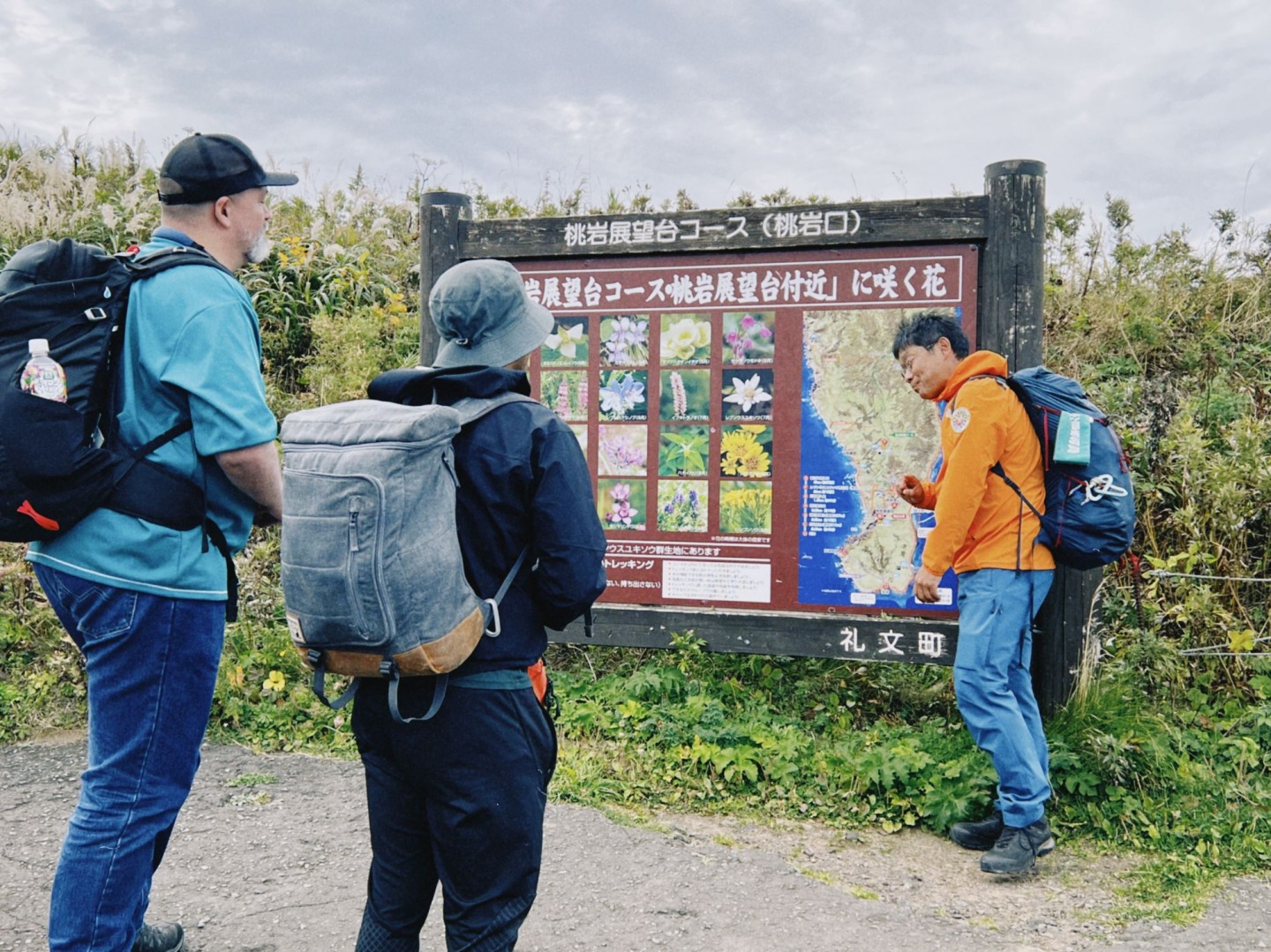
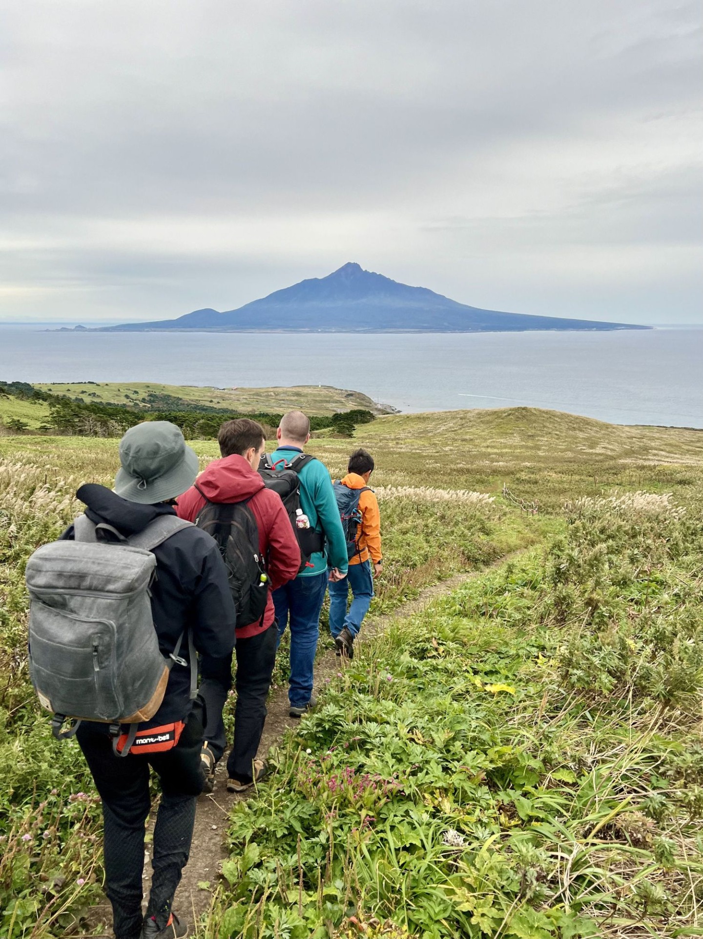
Momoiwa Observatory Course Trekking (about 3 hours)
This is the most popular trekking course on Rebun Island, which allows visitors to enjoy alpine plants as much as they like.
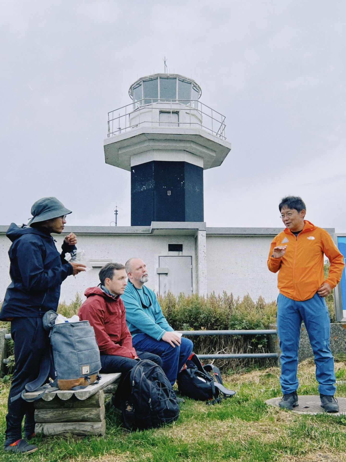
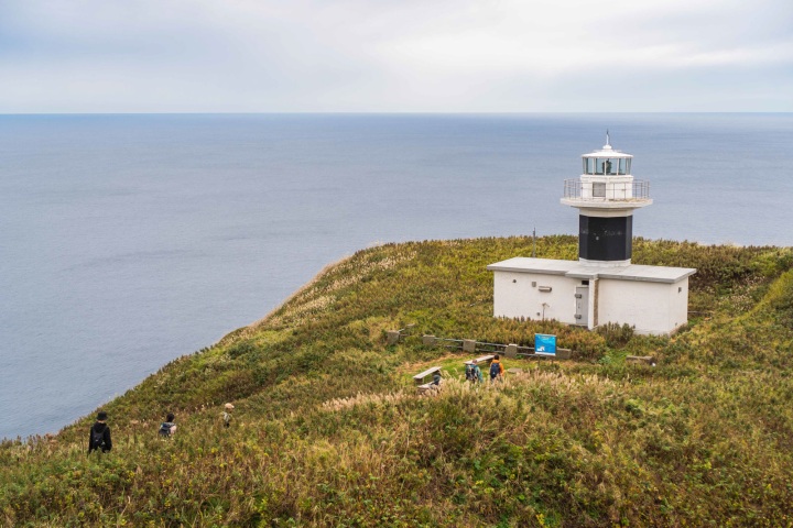
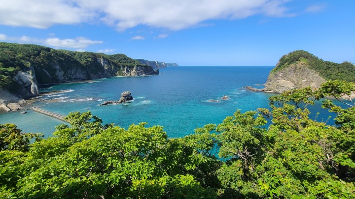
This is a 6.4km course that runs from Kafuka in the south of Rebun Island, past Momoiwa Observatory and Motochi Lighthouse, and on to Shiretoko. It is one of Rebun Island's most popular trekking courses, where you can enjoy alpine plants while taking in the views of the cliffs and blue seas that stretch out along the coast, as well as Mt. Rishiri which is seemingly rising up out of the sea.
Some of the spots you will visit on the tour
- Momoiwa Observatory Course Trekking (about 3 hours)
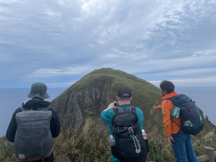
- This is the most popular trekking course on Rebun Island, which allows visitors to enjoy alpine plants as much as they like.
- https://www.visit-hokkaido.jp/en/spot/detail_10386.html
- Jizoiwa
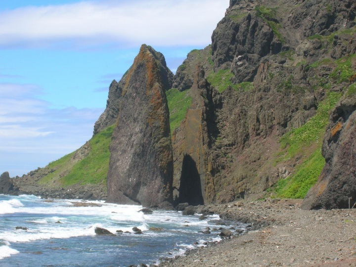
- These peculiar rocks about 50 meters high stand upright on the Motochi Coast in the western part of Rebun Island. The name comes from the way the two steep rocks look like they are about to bring their hands together in prayer (like a jizo praying statue).
- https://www.visit-hokkaido.jp/en/spot/detail_10387.html
【Accommodations】Rebun Kanko Hotel Saryo(Formerly Mitsui Kanko Hotel)
A new destination hotel on Rebun Island, Japan's northernmost remote island.
- Address
- 277 Tonnai, Kafuka-mura, Rebun-cho
- Telephone Number
- 0163-86-1717
Kafuka Ferry Terminal
Wakkanai Ferry Terminal
White Path Cycling Tour (approx. 5 hours)
A leisurely cycling tour of Cape Soya and the photogenic White Path!
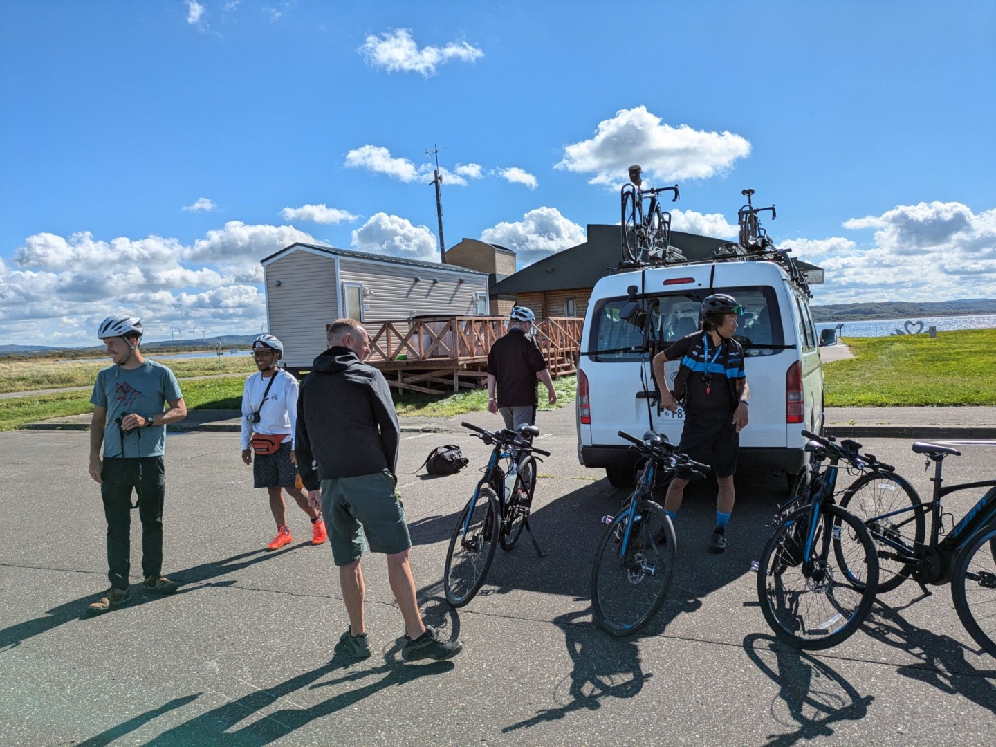
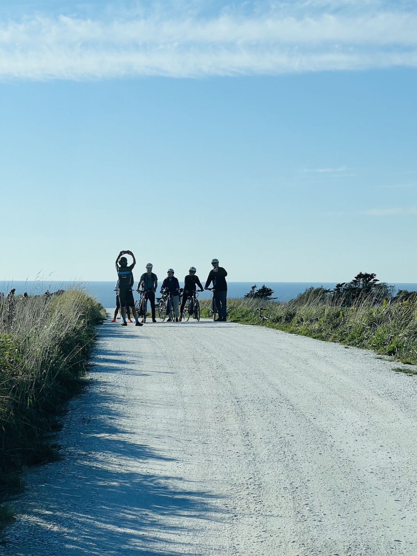
Starting from the Onuma Bird House (Onuma Wild Bird Observatory), this is a cycling tour of northern Hokkaido that travels from Cape Soya, the northernmost point of Hokkaido, passes through the Periglacial Landforms of the Soya Hills, which have been designated as a Hokkaido Heritage Site, and finishes at the popular White Path. With the help of an electrically-assisted bicycle, even the hilly and undulating course is a breeze.
Some of the spots you will visit on the tour
- Onuma Bird House (Onuma Wild Bird Observatory)
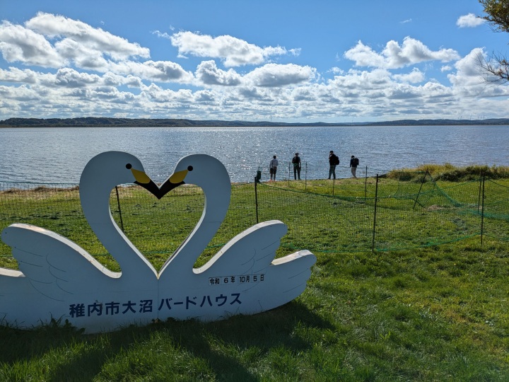
- A facility located by the shores of Lake Onuma. It is a bird-watching station for observing waterfowl such as swans, herons, bean geese, and whooper swans that visit Lake Onuma.
- https://www.visit-hokkaido.jp/en/spot/detail_11351.html
- Cape Soya
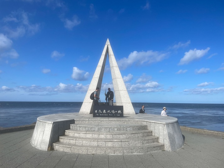
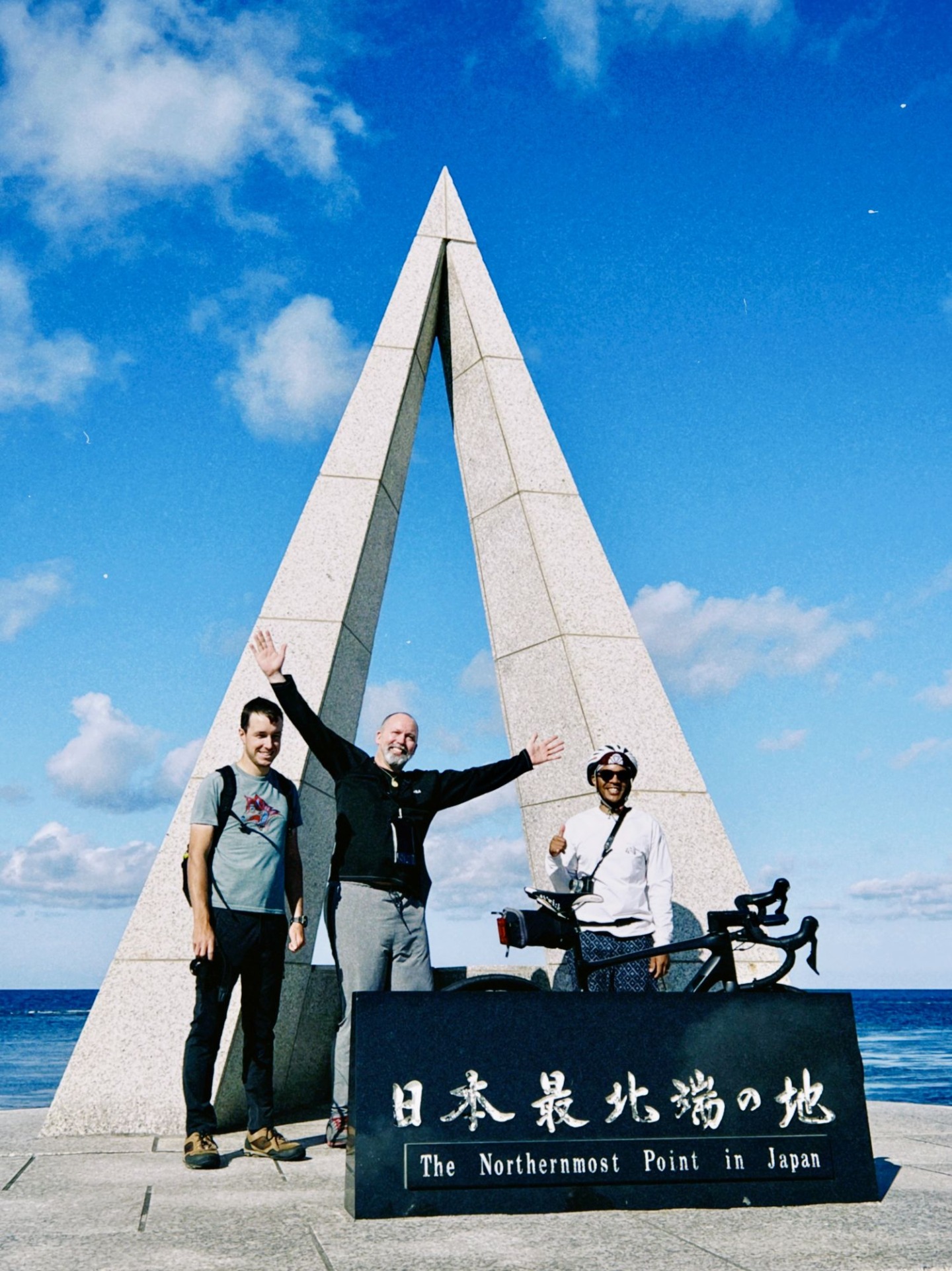
- Located at 45 degrees 31 minutes 22 seconds north latitude, this is the northernmost point of Hokkaido. The "Monument of Japan's Northernmost Point" at the tip of the cape is a popular photo spot.
- https://www.visit-hokkaido.jp/en/spot/detail_10140.html
- Soya Hills
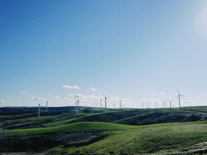
- The sight of 57 large white wind turbines lined up on the slopes of the gently rolling hills is breathtaking. Many cows are grazing in the pastures of the hills.
- https://www.visit-hokkaido.jp/en/spot/detail_10533.html
- White Path
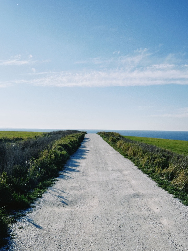
- A walking path about 3 km long, paved with scallop shells, a local specialty. It is also part of the "Footpath" course set in Wakkanai.
- https://www.visit-hokkaido.jp/en/spot/detail_10534.html
